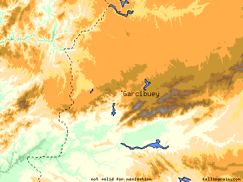
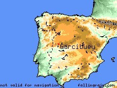
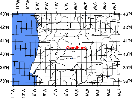
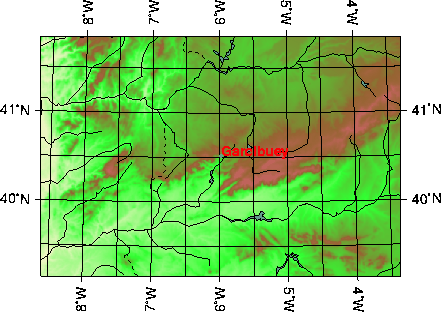
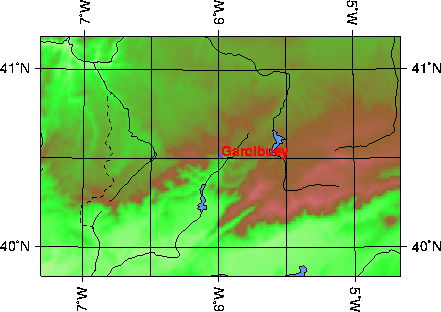
| Latitude | 40.5167 |
|
-5.9833 | Altitude (feet) | 2316 | ||||||||||||||||
|---|---|---|---|---|---|---|---|---|---|---|---|---|---|---|---|---|---|---|---|---|---|
| Lat (DMS) | 40° 31' 0N | Long (DMS) | 5° 58' 60W | Altitude (meters) | 705 | ||||||||||||||||
| Weather | |||||||||||||||||||||
|
| |||||||||||||||||||||
| Airport Links | |||||||||||||||||||||
| ICAO | IATA | Name | |||||||||||||||||||
| LESA | SLM | SALAMANCA (34 nm NE) | |||||||||||||||||||
 | |||||||||||||||||||||
|
|
|
|
|
|
4.0X Out | ||||||||||||||||
 |
 | ||||||||||||||||||||
![]()
![]()
(C)JUANITO 2000-2001
MAPAS (C) www.calle.com